I recently hiked Thompson Peak and thought it was a very challenging hike. Thompson Peak is a summit located in the McDowells Mountains near Fountain Hills, AZ. This out and back, 9.5 mile trail is rated as difficult due to the steepness of the last 2 miles (elevation gain of 2000 feet). This trail is popular among hikers, sightseers, and mountain bikers, so you will definitely not be in solitude on this hike. Dogs are allowed, but need to be on a leash.
Trail Summary:
- Restrooms: Yes
- Fee: $2 Entrance Fee (Pay at the Trailhead)
- Parking Lot: Yes
- Trail rating: Difficult
- Elevation gain: 2,000 ft
Training Hike
This is an excellent prep hike for the Grand Canyon or something similar. I recommend Thompsons Peak if you really want to test your fitness level and stamina. You may be sore for a few days afterwards if you dive right into this one after not hiking for a while. Yes-this happened to me! I’ve started training for a GC hike in several weeks and this is the one I started with. I’ve been Mountain Biking,-but the muscles used for hiking are different. Since this hike is so strenuous, I would not recommend when the temps are over 100 degrees. This hike will also get your heart pumping and is excellent for your cardio! I was amazed at all of the runners on the trail- and even Mountain Bikers.
The Trail
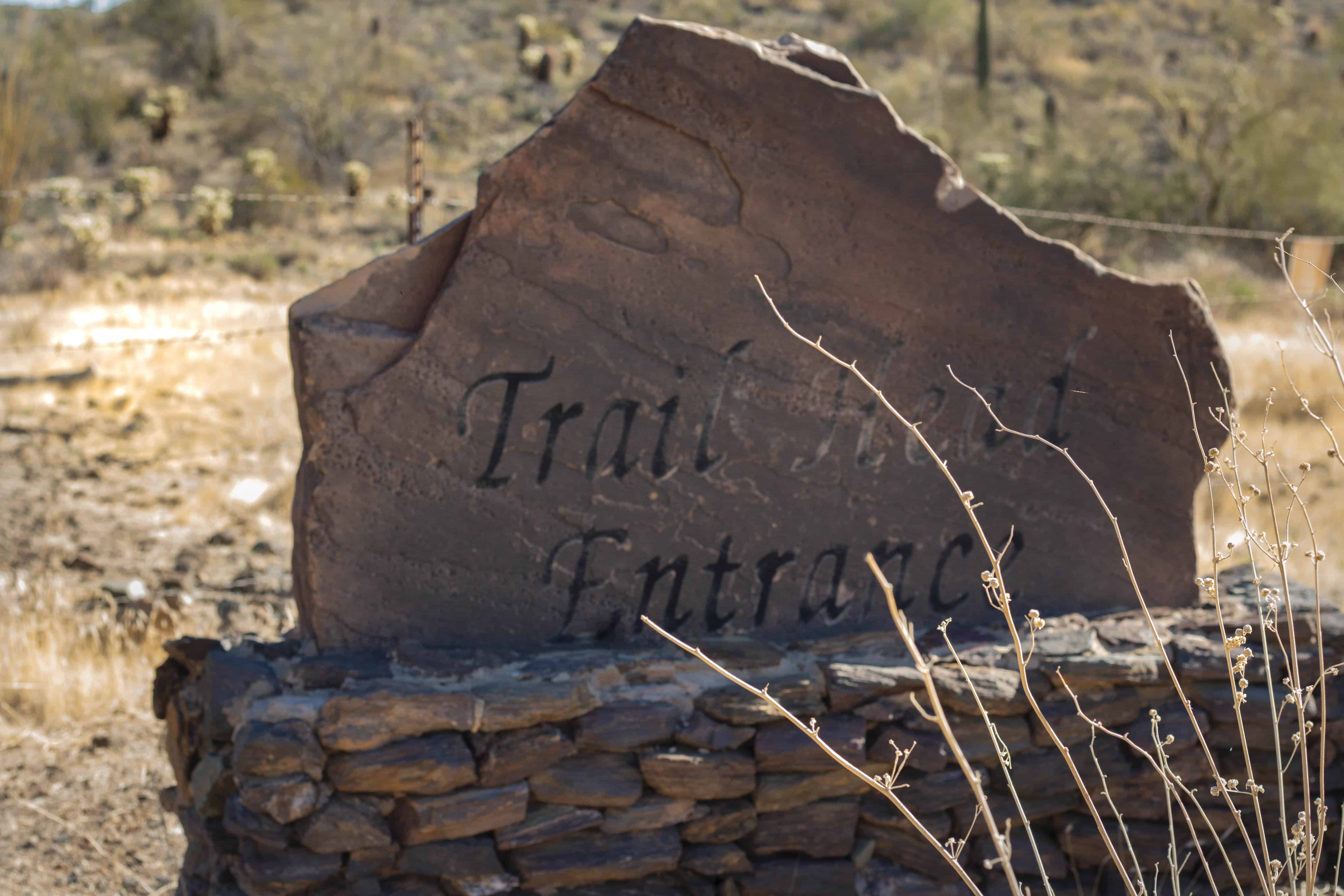
From the parking lot, you’ll start by walking through a community gate and then following the trail through the neighborhood for a quick half mile walk to the actual trailhead. This is where you pay the $2 entrance fee.
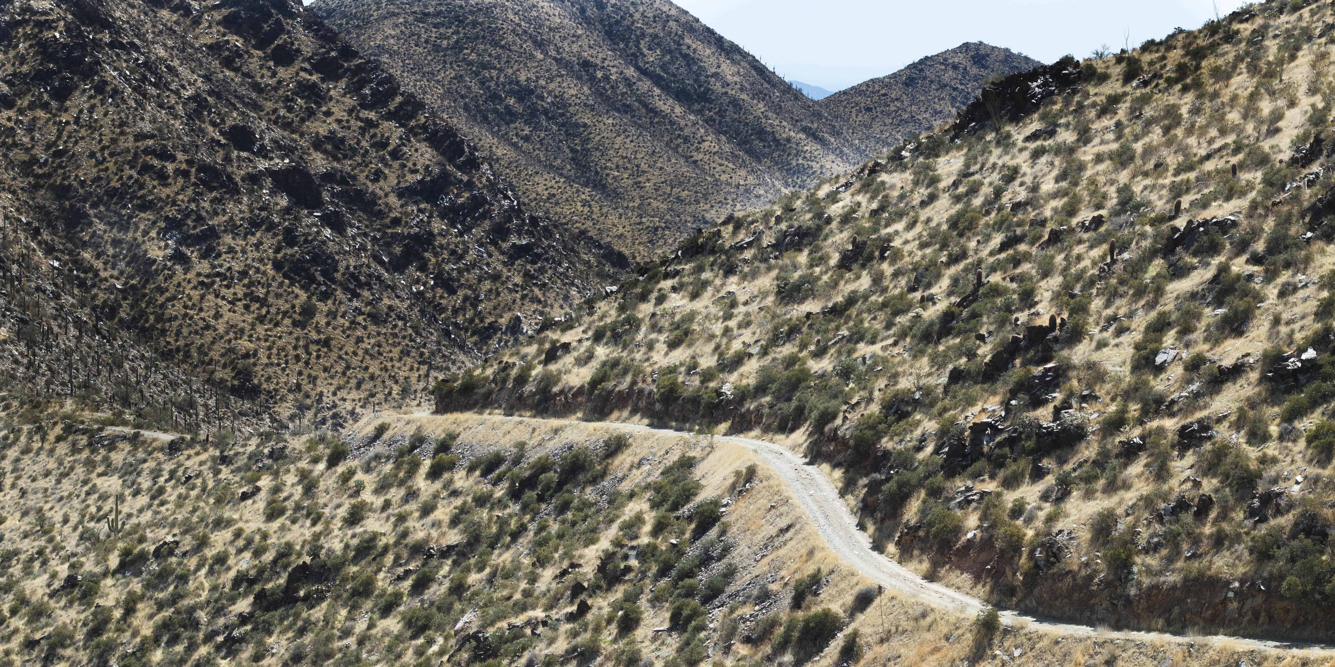
From this point, you’ll follow the clearly marked trail and go through a couple of washes for 2 miles until you reach the Dixie Mine. This part of the hike is fairly flat and is an excellent introduction to the Sonoran landscape for relatives from out of town.
Once you reach the mine (T Intersection), you will take a left onto the Jeep Road. The estimated grade on this road is 30 degrees – and it is paved on the steepest sections. The last two miles are extremely steep- with no switchbacks. This is one of the steepest trails I’ve ever been on.
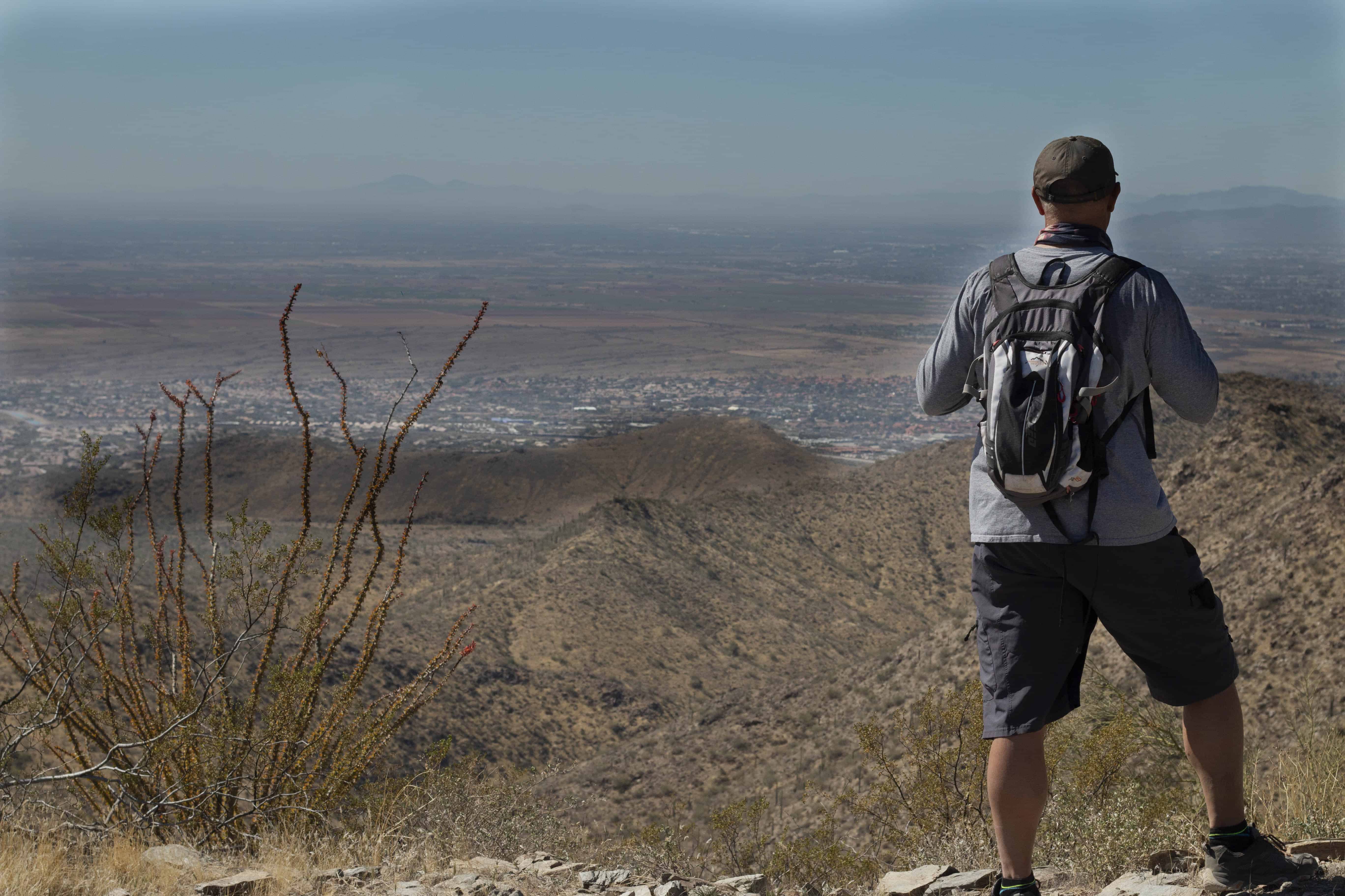
From the top of Thompson Peak you have a 360 degree view of the entire Phoenix Metro area and the golf courses in Scottsdale. To the South you see the Catalinas, East the Superstitions, and to the North you have the Mazatzals.
The very top of the peak are radio towers- which unfortunately you shouldn’t venture to. There is a sign that states hikers should not go past the sign because the frequency from the radio towers is not safe.
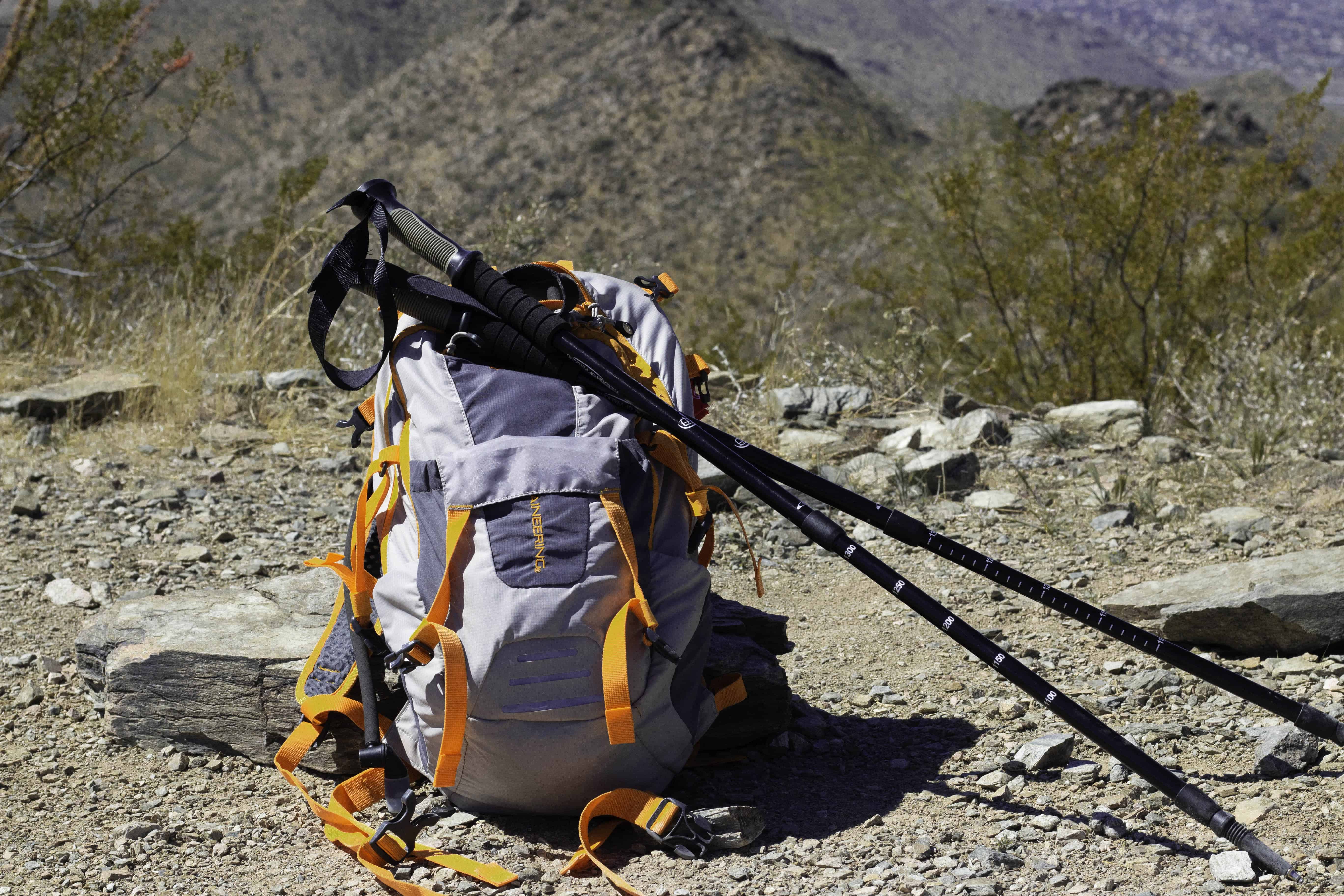
Walking back down is a bit challenging so be careful! You might think about using hiking poles to give you more stability as you make your way down hill. I found myself zig zagging on the steepest sections- this points your feet at a more diagonal direction and makes it a bit easier to walk down. Using poles will also ease the stress on your knees.

Resource: Click here to download a Trail Map
Conclusion
Overall, I think Thompson Peak is a great hike to go on for fitness and training. The first two miles are fine if you want to enjoy a nice walk through the desert. The steepness of the trail provides an excellent cardio and strength training workout. I was sore for several days afterwards! Reaching the peak is very rewarding though and you’ll be glad you did it. The views are outstanding and of course you get the accomplishment of hiking Thompson Peak.
Leave a Reply