
If you enjoy hiking through the trees, then you will love this hike! Within 6 miles, and 3000 feet you will see a progression of manzanita bushes, pinon pines, alligator junipers, Arizona sycamores, Gambel oaks, Fremont cottonwoods, ponderosa pines, Velvet ash, Bigtooth maples, Engelmann spruce and Quaking aspens. The wildlife is varied as well- black bears, deer, mountain lions, bobcats, and coatimundis to name a few.
There are not too many hikes in AZ that have this much diversity. This is a 12 mile hike- with the first 6 basically going all up hill. It was very challenging, but I would hike it again in a heartbeat.

You’ll start the hike at the Icehouse CCC Campground (Civilian Conservation Corp). The first quarter mile winds through stands of manzanitas and scrub oak. Within 10 minutes or so, you reach a bunch of boulders. After the boulders, the trail intersects with the Check Dam Trail- and then moves into a grove of alligator junipers. At approximately the thirty minute mark, you’ll cross a rocky wash which goes through another stand of manzanitas. This is where the fun begins and you start going uphill.
The trail then crosses Forest Road 112 and you’ll get to a steel gate. Right past this gate, you’ll enter a lush riparian area of sycamores and cottonwood trees.
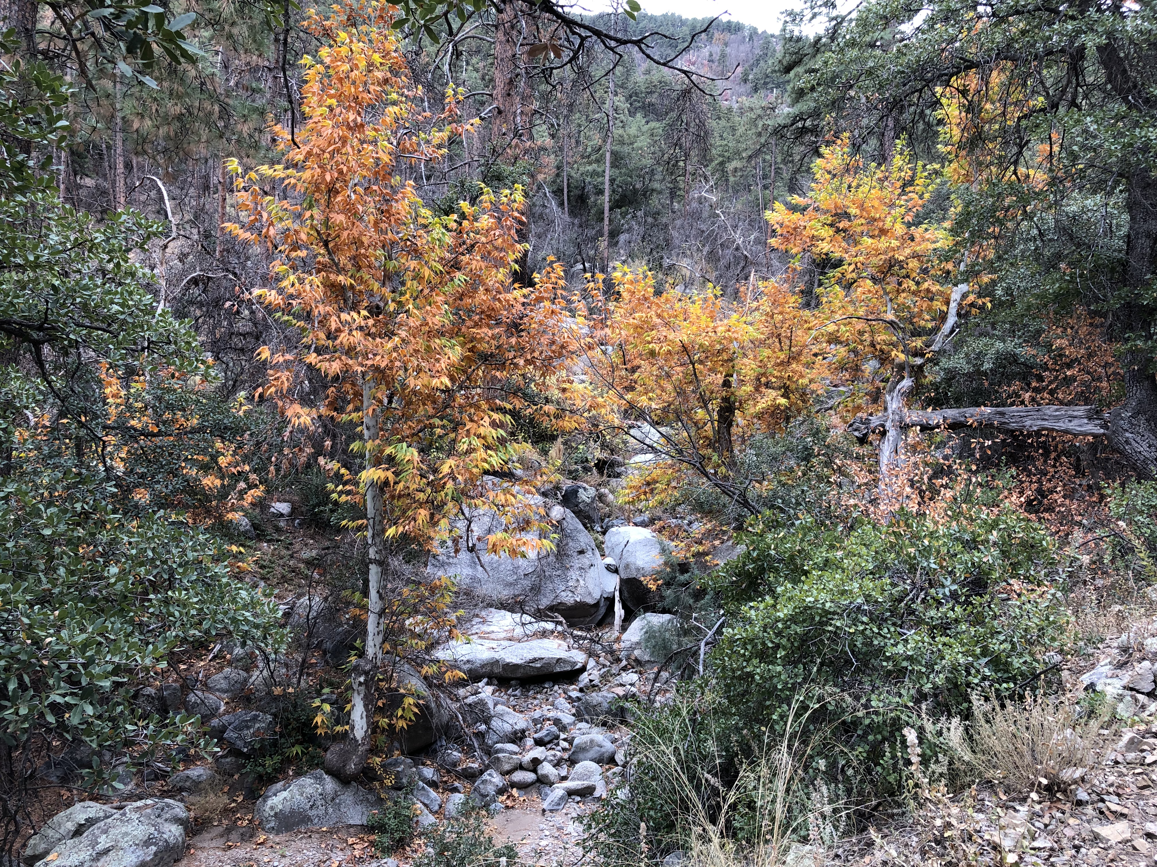
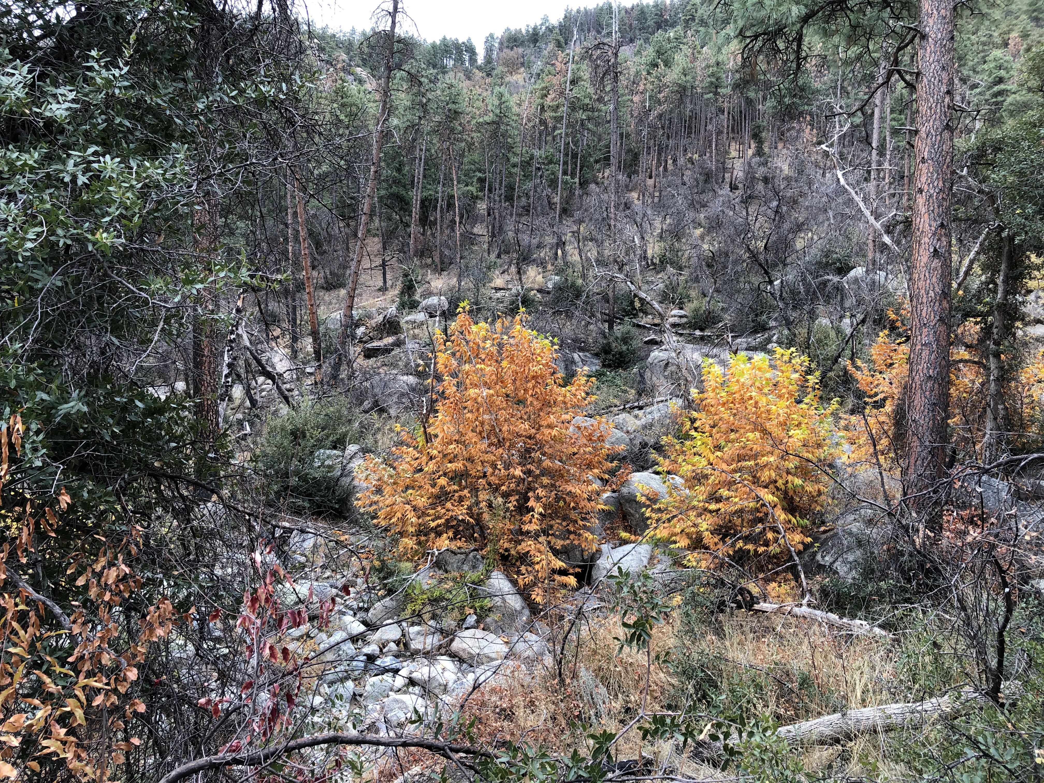
This is the point where the trail begins to parallel with Sixshooter Canyon. At first, it follows the east side, in which there are oaks, ponderosas and maples lining the trail. The west slope has more exposure and is covered by high-desert vegetation. This combination results in one of the most beautiful stretches on the lower half of the hike.
The trail continues steeply uphill through a forest of pines where you’ll be stopping on a ground carpeted with needles.
This makes an excellent place to stop and rest. Eventually the trail merges with an old, narrow jeep road. Here you will see your first spruce and get a glimpse of the towers on top of Pinal Peak. The trail then drops steeply for 200 yards before turning uphill again.

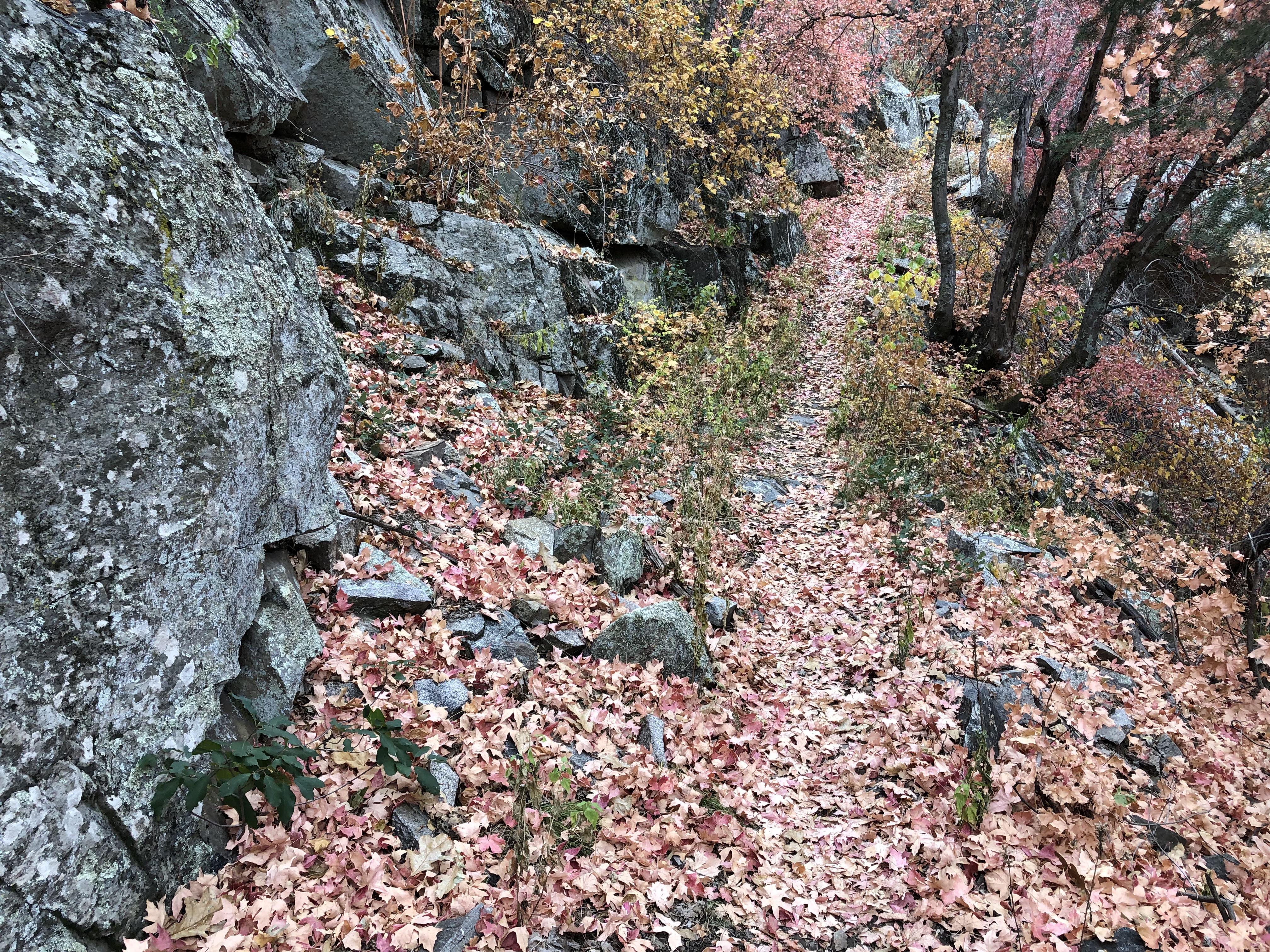
You’ll then intersect the Telephone Trail, and shortly after see the first groves of Aspen. This is where you begin the steepest part of the trail, but also the most beautiful. You might be tired at this point, but keep trucking along and you’ll eventually come across an old mine shaft (difficult to spot on the way up but obvious going the other direction). In the 1880s, an old cabin and sawmill were located in the area of the mine. Supposedly, Sixshooter Canyon was named after the millworkers, who were partial to their revolvers.
Beyond the mine shaft is Ferndell Spring and the intersection with Trail 204. Stay straight on Sixshooter through a stand of very young aspens — and then you’ll cross Forest Road 651C. A few hundred yards later, you’ll arrive at the Middle Trail, which is the turnaround point for this hike.
I didn’t know what to expect with this hike; I was pleasantly surprised. You can see from the images I took how beautiful this trail is. It is definitely challenging- make sure you take along plenty of water and that you are physically and mentally ready to hike up hill for 6 miles. I hike all the time- and my legs were a bit rubbery when I got back to my truck.
Have experience hiking this trail- or have questions? Please leave a comment below!
Happy Hiking
Leave a Reply